
Leaving Denali National Park we drove the Denali Highway from Cantwell to Paxson. The Denali Highway is 135 miles of mostly unpaved road connecting the Parks Highway to the Richardson Highway. We drove it early in the morning and enjoyed the spectacular scenery, stopping in the Tangle Lakes area to make our breakfast.
Talkeetna Range to the south


Moose


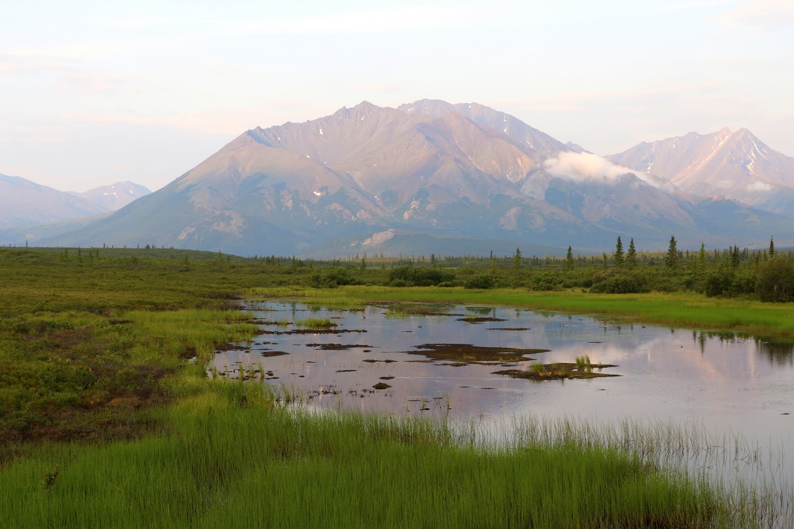
Alaska Range to the north


Nenana River


taiga


Denali Highway
(most of it is unpaved)

Mount Deborah and Hess Mountain

Susitna River bridge

Alaska Range


Clearwater Creek


Tangle Lakes Archaeological District


Moose

Eskimo Potato

At the end of the Denali Highway at the ghost town of Paxson, we turned north on the Richardson Highway toward Fairbanks and drove to Summit Lake and Gakona Glacier. We had intended to hike to the Gakona Glacier but were very tired and instead turned back south and drove the Richardson Highway to Glennallen where we spent the evening.
Paxson


Gakona Glacier area


Gakona Gacier

near Gakona Glacier


Caribou antlers

Gakona Glacier and area


Eskimo Potato

Gakona Glacier


Hairy Alpine Milk Vetch

Icefall Peak


the road to Gulkana Glacier

fellow explorer and photographer


Icefall Peak

views from the overlook on the Richardson Highway


Paxson Lake

taiga between Paxson and Glenallen


Meier's Lake

2 comments:
Beyond words BREATHTAKING.
Thank you ever so much and very nice to hear from you again.
Post a Comment