Friday, November 27, 2015

Snowshoeing to Artist's Point


We've already had more snow in the mountains than we had all of last year.  The ski resort at Mount Baker is open for the season and I decided that if there was enough snow to ski there certainly was enough to do some snowshoeing.  The reports were of three to six feet of base at the ski resot and there certainly was all that and more.

I parked at the ski resort and followed the road (now closed and part of ski run) to Artist's Point and then further up on to the shoulder of Table Mountain.  Artist's Point is a popular viewpoint from which both Mount Baker to the south and Mount Shuksan to the northeast are visible  The road, however, is closed in the winter and accessible only on skis or snowshoes.

Artist's Point is only four miles round trip and is at an elevation of 5100 feet.  I probably did an extra mile to Table Mountain and another 500 feet of elevation.  The day was sunny and cold and there was a lot of fresh powder, so I had a wonderful time, though I missed having my wife along - she is visiting family in Michigan and Illinois.

Mount Shuksan


Table Mountain


Herman Saddle and Herman Peak


Table Mountain


Table Mountain and Herman Saddle


looking back (north)


Mount Shukasan


American Border Peak


snow trails


the road to Artist's Point


Mount Shuksan


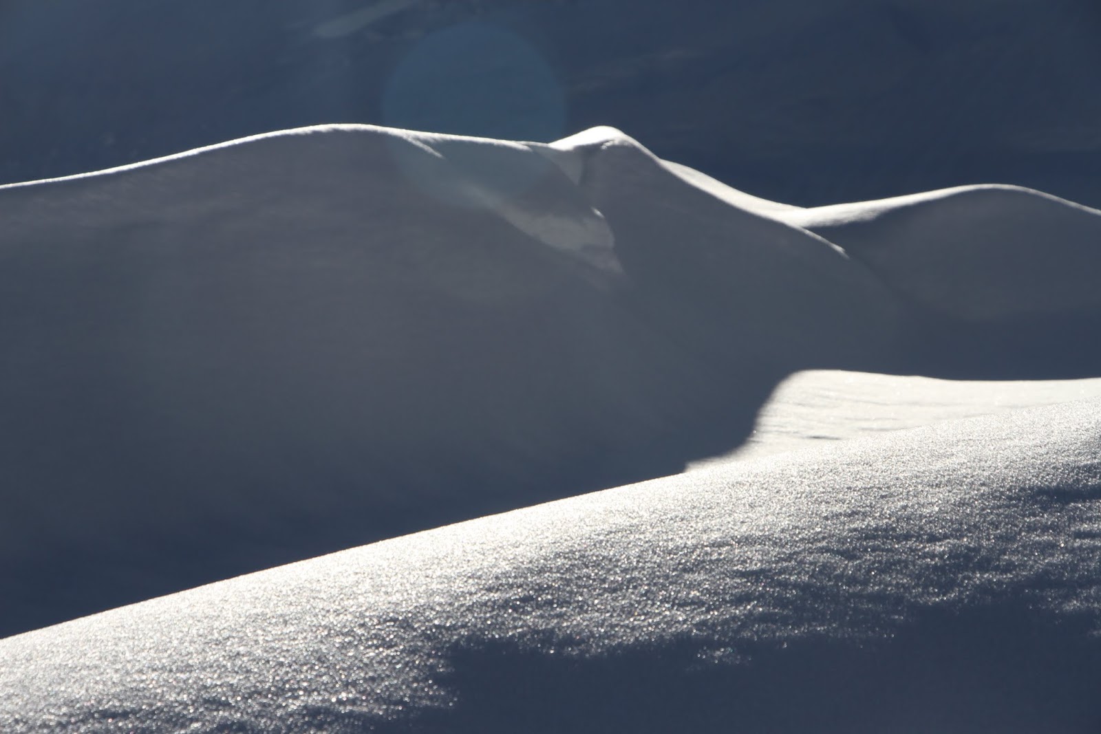
snow shadows


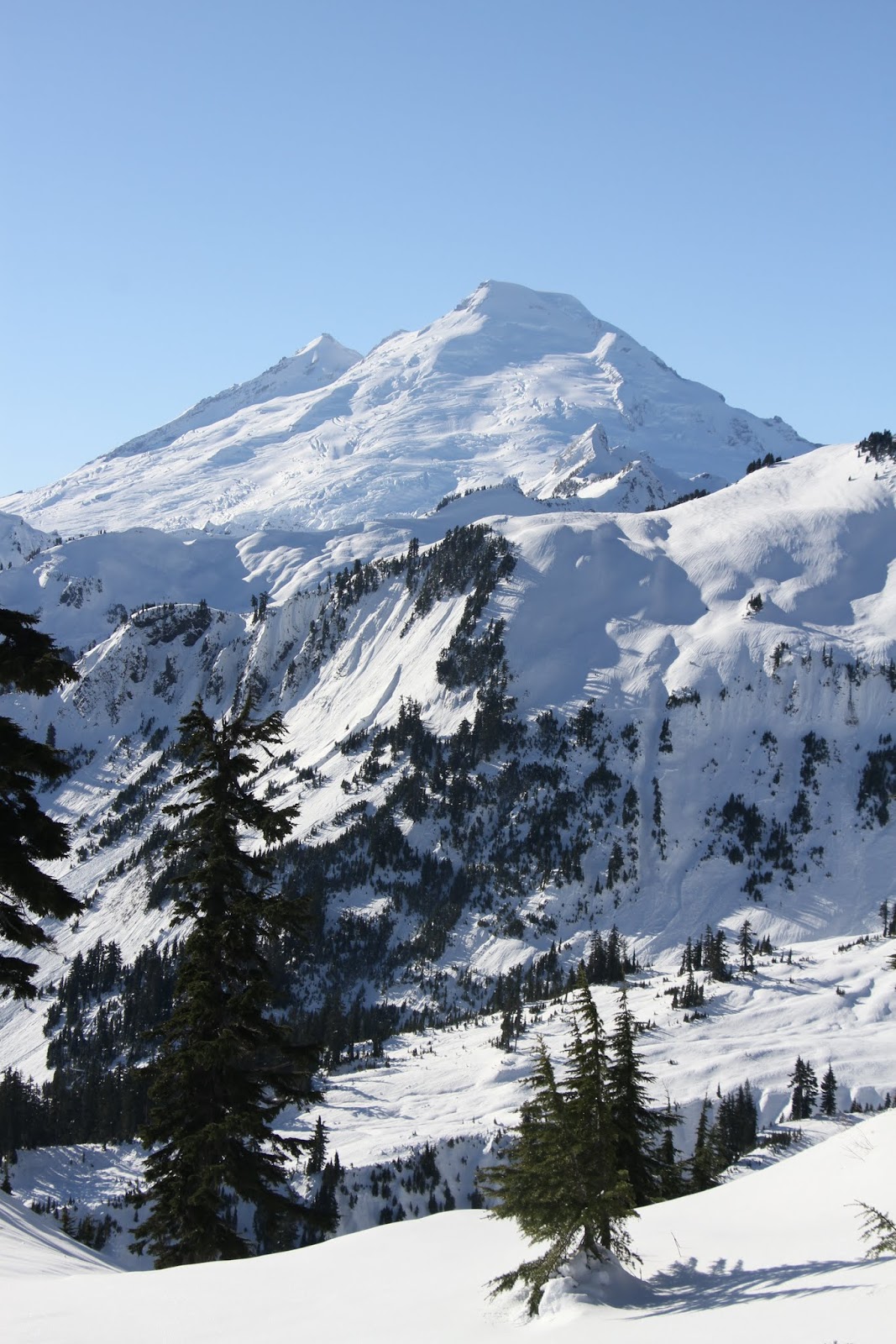
Mount Shuksan


the restrooms at Artist's Point


somebody is using them


Mount Baker from Artist's Point


Mount Larrabee and the Border Peaks


camper


Table Mountain


Mount Baker


trails


Mount Baker


Mount Shuksan


Table Mountain


Mount Baker Ski Resort


Glacier Peak


Mount Baker


Table Mountain
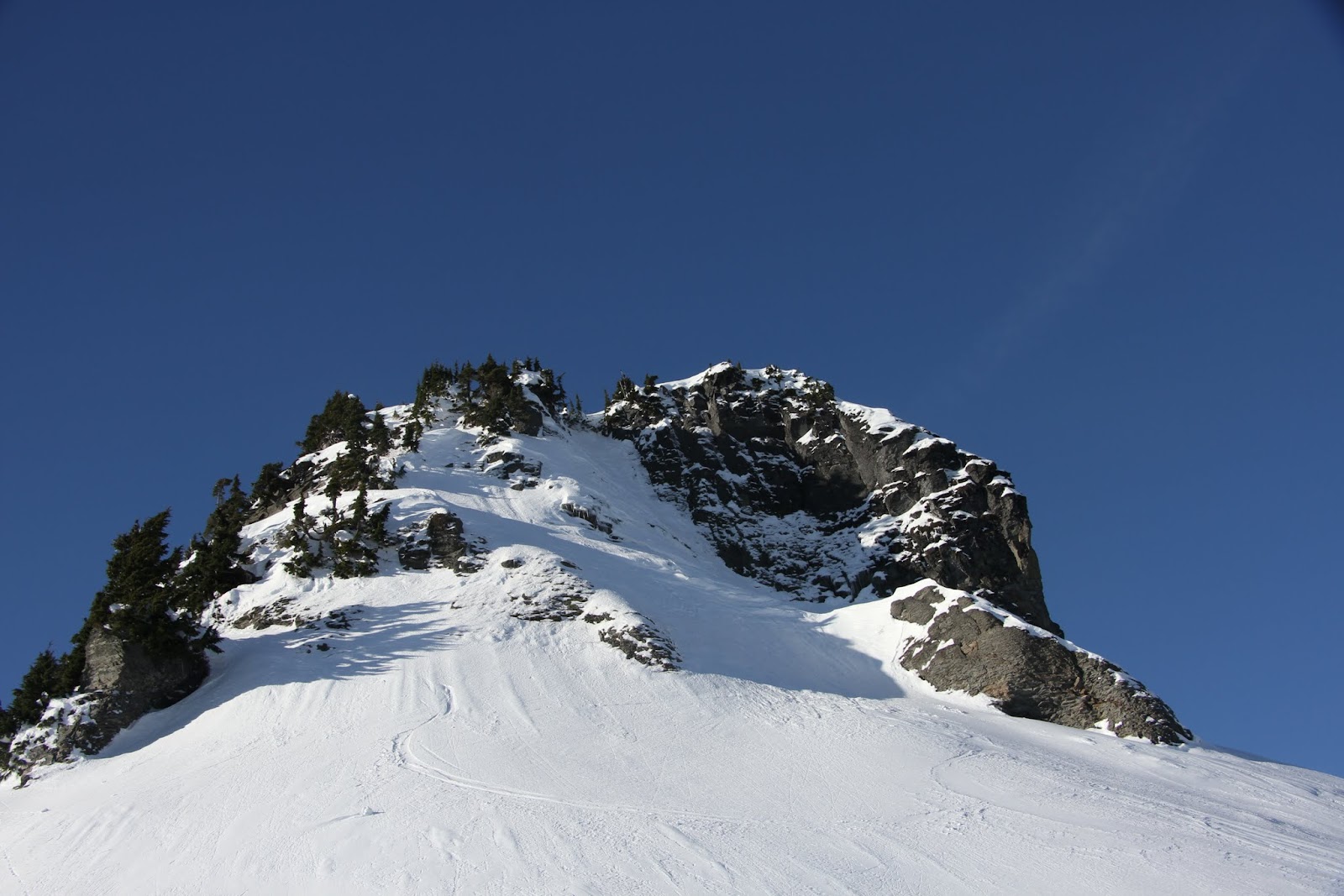


Mount Shuksan


the view south


Mount Baker


Mount Shuksan


moi


snow


Mount Shuksan


snow


skier's tracks


view to the northeast


the road to Artist's Point
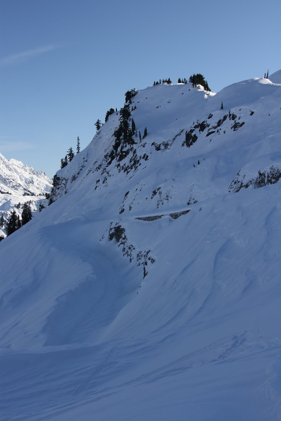

snow and sunlight


old snag


Mount Shuksan

Thursday, October 22, 2015

Lake Elizabeth and Crater Lake


On October 16th we traveled to eastern Washington and  on the way did some exploring in the area of Skykomish, Washington.  Our main destination was an old mine near the outlet of Money Creek, the Damon Pythias mine which was the subject of the previous post.

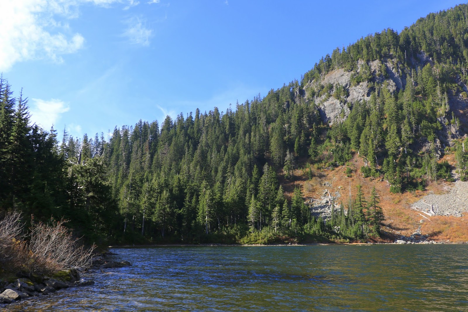
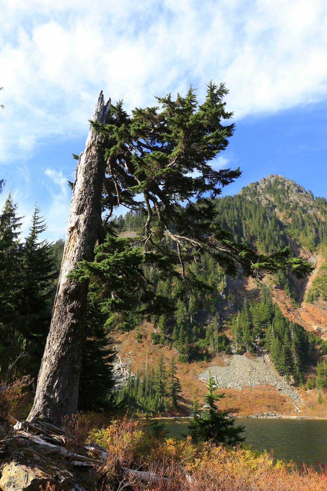
We met some friends there and while waiting for them to arrive, hiked around Lake Elizabeth, a small alpine lake that we had visited before and which is easily accessible from the same forest road that took us to the mine.  These first few pictures are of that lake.

the trail around Lake Elizabeth


Lake Elizabeth


When our friends arrived we went first to the mine and explored it.  When finished at the mine we hiked on down the road (now decommissioned by the Forest Service and impassable to vehicles) and went in search of a second alpine lake, Crater Lake.

I had searched for this lake once before on a wet and foggy day and had gotten lost but this time I had my GPS and the coordinates for the lake and we did make it to the lake but only after losing the trail several times and having to scramble up some steep slopes.

Losing the trail was not the worst thing that could have happened since we found a beautiful falls (unnamed as far as I know) that was on Money Creek, the outlet for the lake.  Eventually we found the trail again and were at the lake in time to eat our lunch there.

The trail, such as it was, was marked with bits of pink and orange ribbon but we had trouble finding them at times.  They were an improvement, however, on the previous trip when the only markers were bits of soggy toilet paper, many of which had disintegrated.

In spite of the difficulties we had this is a hike I want to do again, perhaps next summer.  It was especially interesting to us in that there was no one else in the area and we like hiking alone.  In any case we can now say that we visited Washington's Crater Lake.

the trail


an unnamed waterfall


Charlie


near the lake's outlet


Crater Lake


Larch Wax Cap


 Porcini